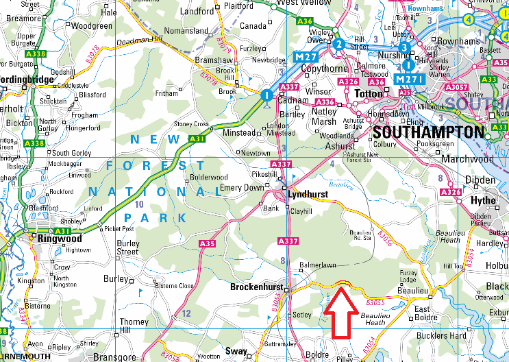
The event centre is at Round Hill Camp Site GR SU328025
The nearest postcode for your sat nav is SO42 7QL
Travel advice:
 If you are approaching from Brockenhurst you will only be able to use the B3055, signed from the A337 at SU303032, by the Balmer Lawn Hotel. This route will be signed. Your sat nav may attempt to take you along Mill Lane but this is closed on the weekend and diversion signs are in place. The route you need to take from the B3055 is likely to flood at the railway bridge. On Sunday 27th October the water level at the bridge was 30cm. We will keep an eye on this route and update you as we can.
As far as we can tell the road from Brockenhurst will be OK to use. There is likely to be some water under the railway bridge. If in doubt approach the site from Beaulieu.
Directions:
The site is off the B3055 between Brockenhurst and Beaulieu and will be signed from the A326 roundabout at SU410059 and the A337 at SU303032.
- Please note the B3055 crosses “open forest” with a 40mph limit: expect cattle, ponies, pigs or donkeys to be free roaming on the roads and runners crossing.
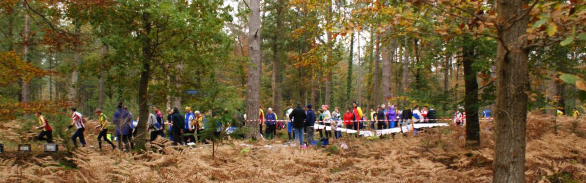
- Runners will be walking along the campsite entrance road to reach the start.
Please note that after very heavy or prolonged periods of rain, the access from Brockenhurst may be subject to flooding but is unlikely to be closed. We do not anticipate such issues with access via Beaulieu.
If coming by train, we understand that buses will replace trains between Eastleigh and Brockenhurst on 3 Nov because of engineering work. (The event is 4km from the station)